Map of Oʻahu: The Island’s Six Regions Explained
Where Oʻahu’s six regions are, what each is known for, and how to group your days around the island.
In this guide4 sections
Oʻahu looks small on a map, but it has six very different regions, each with its own beaches, scenery and pace. Use this overview to work out where things are and how to group your days.
Oʻahu’s regions at a glance
| Region | Where it is | Known for | From Waikīkī (no traffic) |
|---|---|---|---|
| Waikīkī & Honolulu | South shore | City beaches, Diamond Head, Pearl Harbor | — |
| East Oʻahu | Southeast corner | Hanauma Bay, Koko Head, Makapuʻu | About 25–35 min |
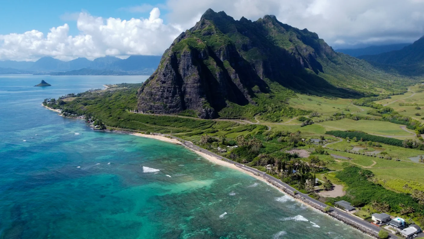
| Windward Oʻahu | East coast | Kailua, Lanikai, Kāneʻohe, Koʻolau cliffs | About 25–40 min |
| North Shore | North coast | Haleʻiwa, winter surf, food trucks | About 1 hour |
| Central Oʻahu | Inland plain between the mountain ranges | Plantation history, Wahiawā | About 35–45 min |
| West Oʻahu | West coast | Ko Olina, Waiʻanae Coast, sunsets | About 35–45 min |
Drive times are rough planning estimates; traffic can add a lot, especially at rush hour.
Two mountain ranges
The Waiʻanae Range runs along the west side and the Koʻolau Range along the east. The trade winds drop more rain on the Koʻolau side, which is why the Windward coast is so green and the West side is so dry.
Planning with the map
- Group sights by region and spend a day on each side.
- The classic “around the island” loop runs Waikīkī → East Oʻahu → Windward coast → North Shore → back through Central Oʻahu.
- There’s no road around Kaʻena Point at the far western tip.
See our illustrated region map on the homepage, or explore each region from the Explore Oʻahu hub.
While you’re nearby

Keep exploring Oʻahu
More in Explore Oʻahu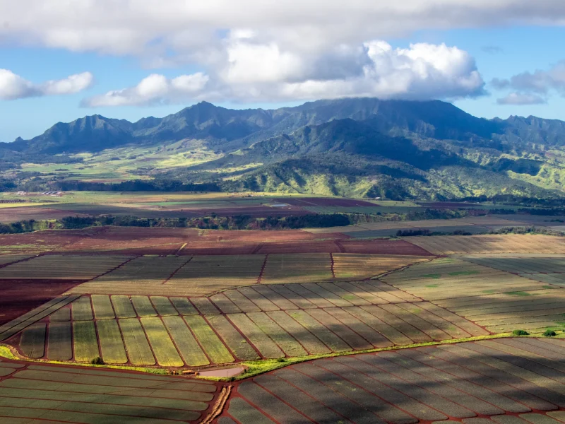
Central Oʻahu: Dole Plantation, Wahiawā and the Road North
A practical guide to Oʻahu’s inland plain — Dole Plantation, Wahiawā and Kūkaniloko — and how…
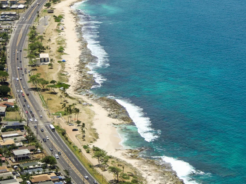
Oʻahu on a Budget: How to Save Without Missing Out
Where the money goes on an Oʻahu trip, how to save on lodging and transport, and…
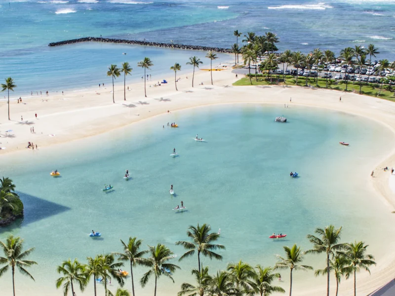
Oʻahu With Kids: A Practical Family Trip Guide
Where to stay, the calmest beaches, kid-friendly things to do and the logistics that make an…
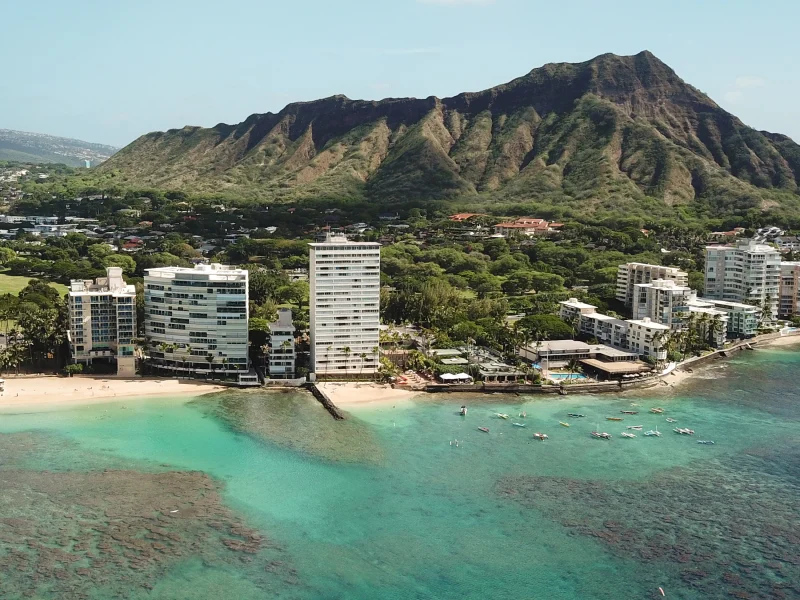
Oʻahu Island Information: Basics to Know Before You Go
Oʻahu basics for first-time visitors: geography, time zone, language, local customs and where to start planning.